

Backcountry Mapping Masterclass

Learn the ins and outs of digital mapping for backcountry travel from professional mountain guides.
Course Overview
Meet Your Instructor
Course Description
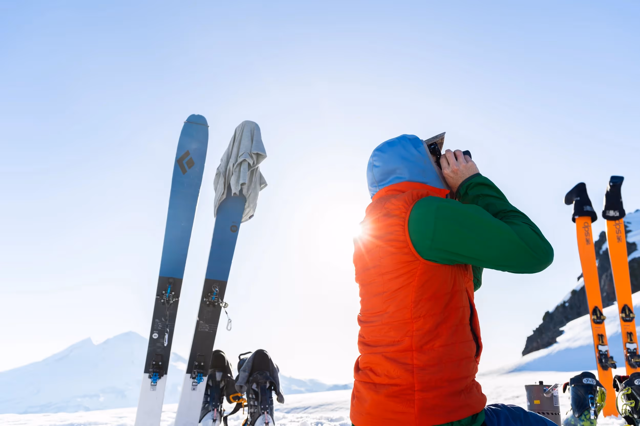
This course builds the critical digital backcountry navigation and mapping skills that many mountain athletes never fully develop. You’ll learn how to plan routes efficiently and safely using modern mapping tools like Caltopo, onX Backcountry, and Google Earth with in-depth instruction grounded in professional mountain guide experience. More than a basic tutorial, it delivers high-level, field-proven techniques to help you travel confidently and succeed in the mountains.
Course Modules
- Early Season PWL Scouting - Caltopo
- Early Season PWL Scouting - onX Backcountry
- Planning a Ski Tour - Caltopo
- Planning a Fastpacking Route - Caltopo
- Considerations for Mapping an Alpine Climb - Caltopo
- Snow, Weather, and Avy Obs - onX Backcountry
- Basic Functions - onX Backcountry
- Planning a Ski Tour - onX Backcountry
- Mapping a PWL - Caltopo
- Mobile App Tutorial - Caltopo
- Planning A Backcountry Skiing Hut Trip - Caltopo
- Basic Functions - Google Earth Pro
- Weather Forecast & Precip Data - Google Earth Pro
- Uploading Custom Maps - Google Earth Pro
- Creating A Personal Backcountry Skiing Atlas - Caltopo
- Mapping an Avalanche Forecast - Caltopo
- Utilizing Sun Exposure - Caltopo
- Basic Functions - Caltopo
- ATES Scale Explained - onX Backcountry
- Avalanche Run Out Tool - onX Backcountry
- Avalanche Start Zone - onX Backcountry
- Calculating Alpha Angle - onX Backcountry
- Green lighting, yellow lighting and red lighting terrain - onX Backcountry
- Slope Aspect Tool For Avalanche Problems - onX Backcountry
- Calculating Alpha Angles - Caltopo
- Visual Scouting Via Viewshed - Caltopo
- 3D Visualization - Caltopo
- Integrating Photos - Caltopo
Student Testimonials


Get Started with
Backcountry Mapping Masterclass

Frequently Asked Questions
You can find your login information within the email that you initially signed up with. Additionally, you can find the login link in both the resources tab of the main menu as well as at the bottom of the website.
If you purchase a course through the Mountain Training Center, you own it for life. This means that you will be able to go back and learn year after year.
You can use a desktop, laptop, tablet, and even a mobile device to watch your course. For mobile devices, simply download the app “Teachable” and use your login credentials.
You can simply leave a comment below the video within the course and the instructor will get back to you with a response. Your question and their answer will be available for all students to see in the future.